If you were planning on enjoying a spot of hiking on your trip to Tenerife, you’re in luck: this island has no shortage of hiking trails to explore its diverse landscapes, with everything from laurel forests to awe-inspiring beaches and ravines.
This article looks at the best excursions in Tenerife, focusing on the charming trails in the northern region. So, put on your hiking boots and grab your rucksack; it’s time to discover what this incredible island has in store for us.
The best trails of Tenerife North
Tenerife, known for its jaw-dropping scenery and lush vegetation, has a number of hiking routes in Tenerife North to suit all tastes and fitness levels. Whether you’re an experienced hiker or just starting out, the northern region has trails for everyone.
The Senses Trail: Anaga Rural Park
The Senses Trail, in Tenerife’s Anaga Rural Park, offers an accessible experience for all. Located in Cruz del Carmen, not far from Mirador de Jardina, this trail is perfect for nature lovers, not to mention those looking to explore the island, regardless of fitness level.
The trail sets off from the Cruz del Carmen Visitor Centre, which has a car park and a viewpoint with stunning views of the Anaga Massif, San Cristóbal de La Laguna and parts of the capital. Historically, part of the Senses Trail was used as a Royal Road linking La Laguna and Anaga. The name of the Senses Trail is more than appropriate, as information panels along the trail awaken the senses of touch, smell, sight and hearing, immersing visitors in the natural environment.
The trail is split into three sections, each designed to suit different levels. The wheelchair-accessible Trail 1 gives a brief introduction to the local vegetation. The half-a-kilometre-long Trail 2 allows you to visit it in just fifteen minutes. Meanwhile, trail 3, which takes 30-45 minutes, features the greatest elevation gain. Despite differing in length, all three trails have a low difficulty level.
Vueltas de Taganana Trail
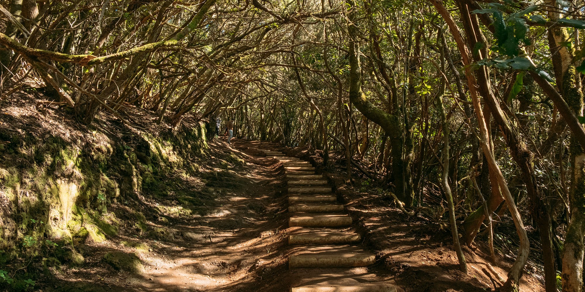
Located in the awe-inspiring Anaga Massif, the Las Vueltas de Taganana Trail zigzags down from a historic forest house, descending from 870 metres above sea level. This trail, steeped in history and natural charm, is protected as a Rural Park and Biosphere Reserve by UNESCO, and stands out for its lush, humid landscape, thanks to the trade winds.
Built in 1506 to link Taganana with La Laguna, the trail reveals remnants of the past, such as ancient watering holes and a cave carved into the rock. Along the trail, the rich flora captures the essence of the environment, from mosses and ferns in the shady areas to the viñátigo (Persea Indica), with its reddish leaves.
This trail is more than just a hike; it fully immerses you in the nature and history of Anaga.
Chinyero Trail
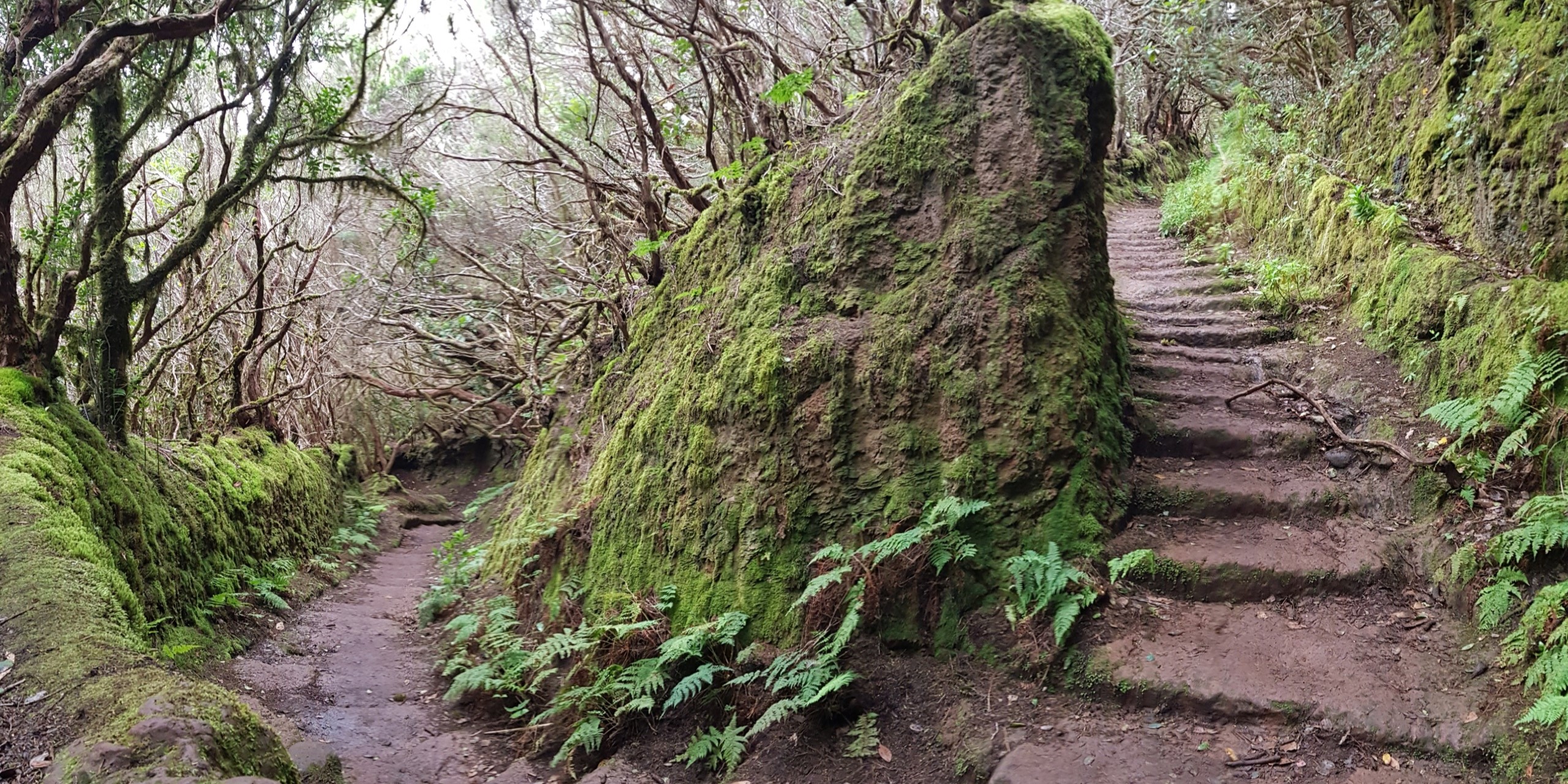
The Chinyero Trail is one of Tenerife’s most fascinating hiking routes, where you can truly get a feel of the island’s geological wealth. As well as its geological value, it has a fascinating history behind it, as the Chinyero Volcano was the last to erupt in Tenerife in 1909. It spewed lava for 10 days, sending towns such as Santiago del Teide and Guía de Isora into panic.
The eruption left an unforgettable mark on the locals, who fearfully set off on processions to El Calvario in Las Manchas. Miraculously, the lava stopped, instilling a deep-rooted belief. A procession is held every year in remembrance of those days of panic.
The 6.6 km-long route along the Chinyero Volcano (PR-TF-43) is accessible to everyone. You’ll get the chance to marvel at the Canarian pine trees and the stunning contrast with the volcanic soil. Along the trail you can take in awe-inspiring views of Teide and the Pico Viejo Volcano.
To set off on this adventure, just make your way to kilometre 15 of the TF-38 and access the Chinyero Special Nature Reserve.

La Rambla de Castro Trail
The Rambla de Castro Trail, in Los Realejos, is an enthralling journey through the history and nature of the Canary Islands. La Rambla de Castro, classified as a Protected Landscape, covers 46 hectares of nature at its finest, with its palm grove standing out above all. Starting at Los Roques Beach, the trail takes in jaw-dropping landscapes, such as black sand, rock formations and wild waves, perfect for photography lovers.
As well as its beauty, the trail is highly appreciated for the different specimens of dragon trees and protected species of flora and fauna. We recommend taking the roughly 9 km (round trip) trail from Playa de los Roques to the San Pedro Viewpoint. You’ll spot historic buildings along the way such as the Gordejuela Water Elevator, a hydraulic fire station built in 1903, and the San Fernando Fort that dates back to the 18th century when it was used as a defence against pirates. The trail finishes off next to La Casona de los Castros, a 16th-century estate currently undergoing restoration, which will be turned into a visitor centre.
Las Raíces Circular Trail
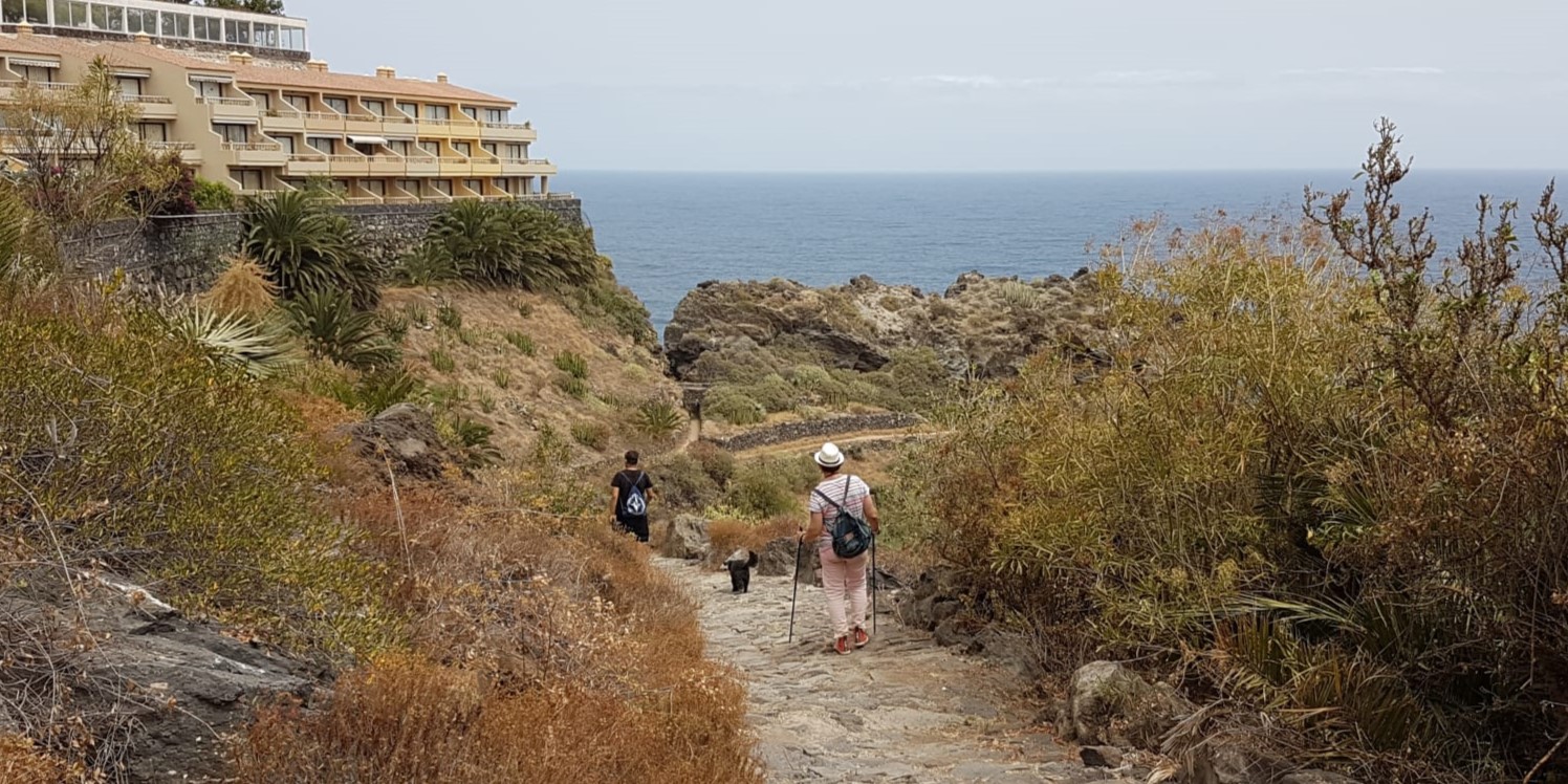
The circular trail that starts at the Las Raíces Recreational Area and heads towards Montaña Chica passes through a leafy pine forest. Entering this pine forest, you’ll be blown away by the stunning panoramic views of the Güimar Valley, not to mention the awe-inspiring Montaña del Socorro, also known as Montaña Grande.
After crossing the Barranco de Maravedís ravine, you’ll head up some wooden stairs to the area known as Benijo, to finally make your way back to the Las Raíces Recreational Area, the trail’s start and end point.
The trail starts at kilometre 10 of the TF-24 road, near a restaurant at the fork at the start of the Pista Forestal de Los Ovejeros. This low-difficulty 5.3-km trail follows certified and signposted paths such as PR-TF-25.1, and links up with other trails such as PR-TF-25, Circular de las Barreras, SL-TF-301, and Lomo del Centeno, SL-TF-299.
Humboldt Viewpoint Trail
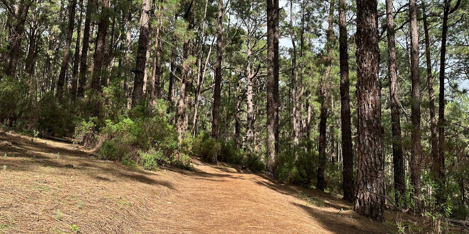
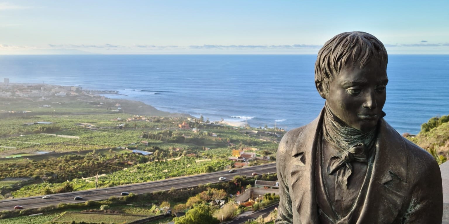
Humboldt Viewpoint pays homage to the renowned German scientist Alexander von Humboldt. The trail, that sets off from the viewpoint bearing his name, gives hikers the chance to follow in Humboldt’s footsteps and immerse themselves in the island’s natural beauty.
The viewpoint itself has jaw-dropping views of the Orotava Valley, with the magnificent Teide as its backdrop. The lush green valley, that contrasts with the grandeur of Mount Teide, is a landscape that took Humboldt’s breath away on his visit.
The trail continues along the route that Humboldt would have taken while climbing up Mount Teide. Hikers can explore the island’s wealth of geobotanical diversity, from coastal areas to higher altitudes. The trail winds through forests, rocky terrain and landmarks that Humboldt would have also passed. The trail finishes off at the viewpoint, giving hikers the chance to reflect on Humboldt’s observations and discoveries.
Come discover these trails in Tenerife North
Tenerife’s diverse landscapes, from lush forests to volcanic summits, make the island a hiker’s paradise. Whether you go for the northern trails with their laurel forests or the southern charm of Montaña Roja; each and every hike is a one-of-a-kind experience.
Discover Tenerife North with Sansofé. Choose one of the 10 houses within our organic avocado farm in La Matanza de Acentejo, a charming village in the north of the island. Sansofé isn’t just a place stay; it’s a unique experience that strikes the perfect balance between the tranquillity of nature and modern comfort.


